R i o  C l a r i l l o

Character

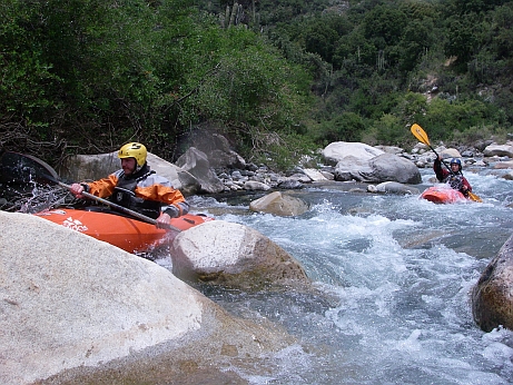
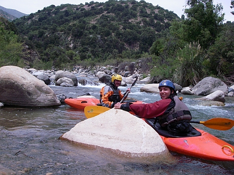
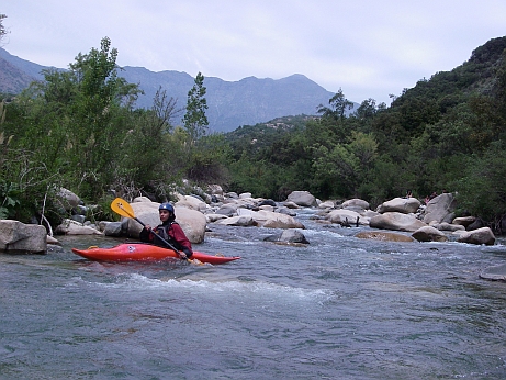
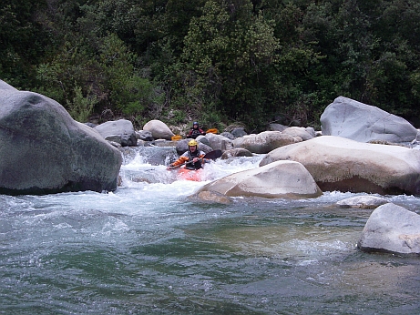
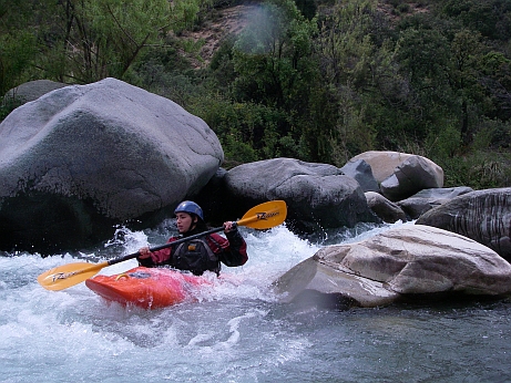
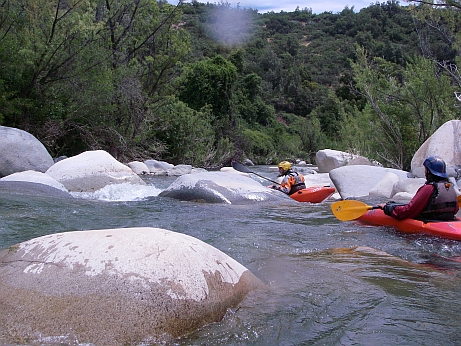
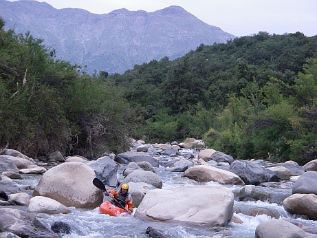
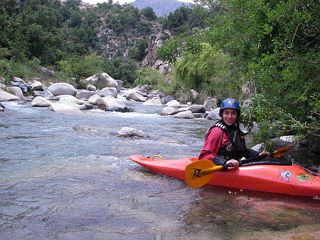
The Clarillo is a technical river with beautiful, crystal clear water. Since its source is in the lower part of the mountains, the river has rather small flow even in the high melting period (November/December). The best flow might be found after heavy rainfalls, but presumably it will lose its seducing colour and will become quiet fast then.
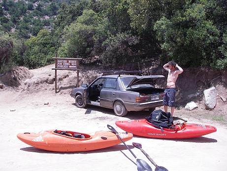
    

How to get there

The Rio Clarillo flows through a National Park, which is located approx. 50 km south of Santiago. To get there is not to easy, a detailed map or GPS system is recommended. The entrance fee into the park is  2.500 Pesos.        

Put-In  / Take-Out

Put-in at the end of the road of the park (Sector Rodeo).
Putout at the first parking in the park (with a kiosk). 
I was told that there is a take-out further below and that in this section would be a nice 2 m drop.


                   Parking at the put in.

Length

Ca. 2,6 km, 

Gauge              

NW  /  MW  /  HW

As reference gauge you may consult the photos: 
This is the lower limit of navigability. 

Difficulty

WW III- (ca. 3 x III-IV)


 From the beginning it is going don with a continuous slope .... 


...but the line is always easy to grasp from the boat.

The river is embedded in the typical landscape of the northern Andes ...

                   ... just that it has got the untypical clear water.

                   The river narrows in some parts, ...

... and increases the difficulties up to one degree.

With a bit more water, some parts would become definitely more easy to run.

                   The last Cataract before the take-out.


Fotos: Andreas       Paddler: Basti, Paz