
How to get there
From São Paulo take the Castello Branco (SP280) direction Sorocaba. After approx. 130 km turn into the SP 127 in direction to Ipatetininga. From her go on, on the Francisco Alves Negrão (SP127, then SP258, then PR151), until reaching Castro. There you leave the highway in direction to Tibagi.
Character
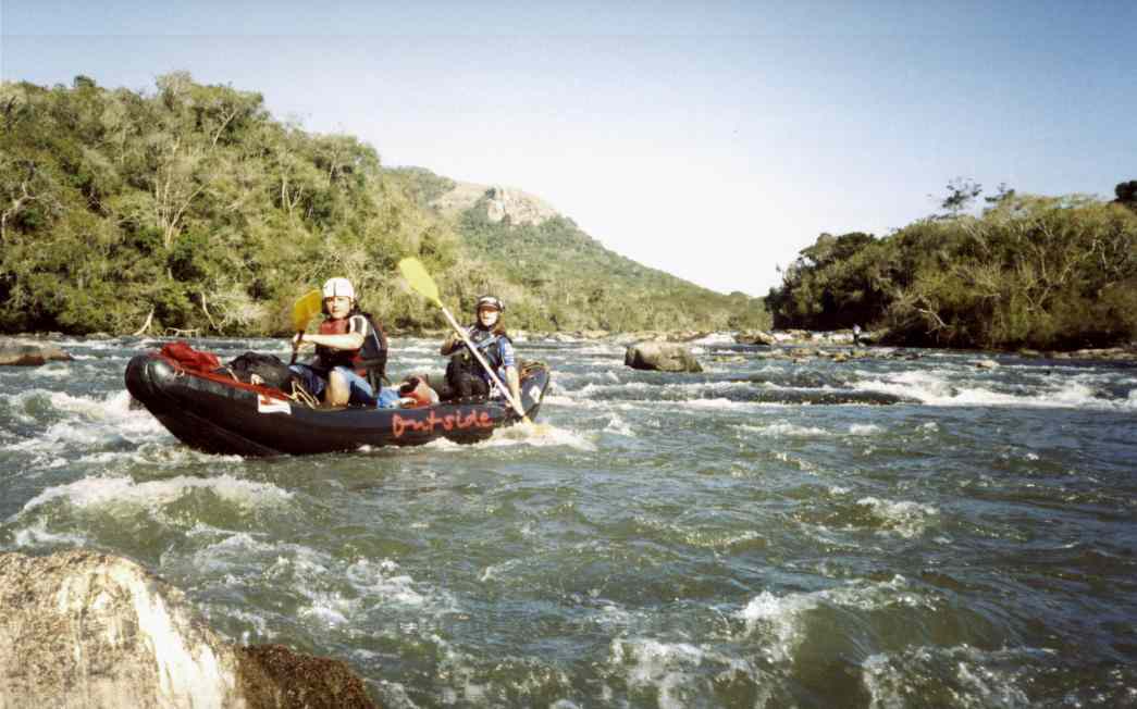
The Iapó is a small expedition. The river begins and ends with long flat stretches, in the middle part, it becomes more narrow with some gorge-type sections and a significant gradient.
Flow information
Weekly actualized at Canoar
Put-In / Take-Out
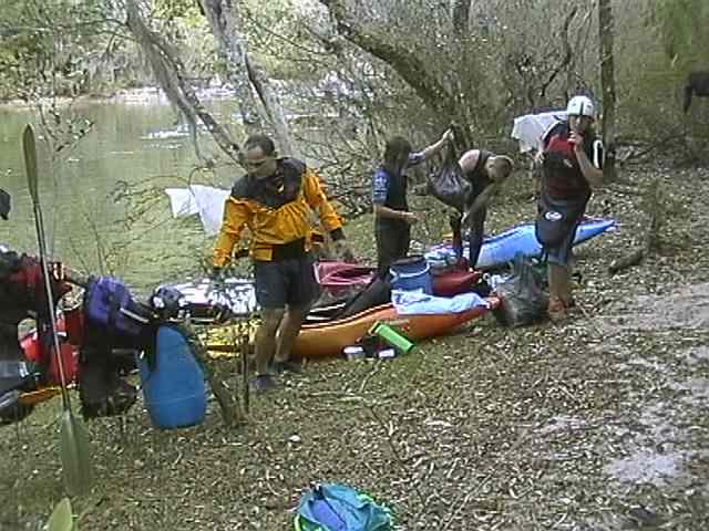
The put-in is at the camping ground Fazenda Rincão dos Assis. 12 km after the Exit from the highway in Castro, there is a dirt road at the right side, a sign indicates the camping ground which is another 10 km away, following this dirt road.
The take-out is at a Fazenda, beside the Pousada Fazenda Guartelá, at km 49 of the road to Tibagi (a sign indicates the entry). With a normal car you will have trouble to reach the river - you may have to "portage" out approx. 1 km and 150 m of height :-(
Length
approx.
42 km, minimum 12 hours
At the first decent, you should plan a two day trip. Knowing the river, in
summer (longer days) you may do it eventually in one day.
Alternatively you may make a short trip (approx. 8 km), taking out at the
"Tartaruga". But because of the flat section and the exhausting
take-out, a 40 minutes portage out of the Canyon, it is not really worth to
run only this section.
Gauge
Low / Middle / High
(Source
Canoar)
1,1
- 1,3 m / 1,3 - 1,6 m
/ > 1,6
m (Photos at low flow)
Difficulty
up to WW IV (VI, V+ , X, V+), at low flows, a bit easier, at high flows up to one grade more.
In winter time, even in tropic regions, you should be prepared for some surprises in the morning ...
Special Hazards
It
is extremely difficult, often impossible, to leave the Canyon - so, run safe,
don't risk !
You should be sure on WW III and with rolling. Swimming in the narrow parts
of the river is extremely dangerous as there are lots of undercuts.
Principally all parts may be portaged, but especially at hig flows it will
be very difficult and exhausting.
Watch your time reserves and don't dawdle in the flat sections.
Before you start, inform about the weather:
in winter it may have frost at night, take adedequate equipment with you,
summerly rainfalls may let the river rise extremly quick and high in the
narrow parts of the canyon.
Take care with fires in the forest.
Logistics
Best if you have a Land
Support Team, who takes the car to the take-out. The region is offering
enough attractions for non-paddlers
(National Park with foot
tracks, Waterfalls, Swimmingpool,
etc.).
If you don't have any buddies, you may eventually make a deal with Nino, the
owner of the camping ground at the put-in, or with the owners of the Pousada
Fazenda Guartelá. Both places are best to stay the first night
anyway (at the camping ground, you get even breakfast if you order it the day
before).
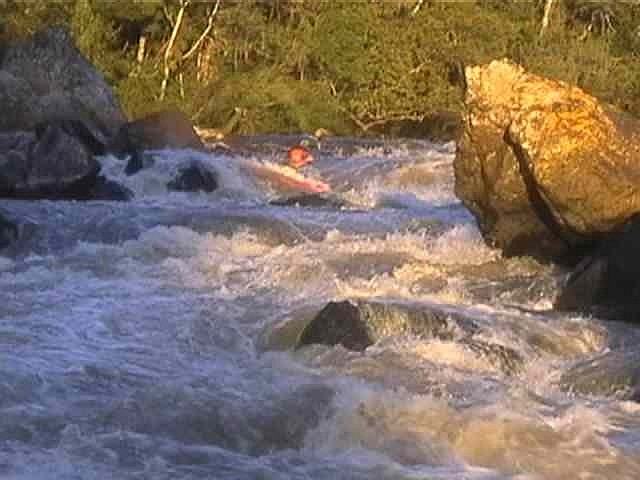
A welcome change after a long flat section at the beginning: Take the first rapid in the beginning at the right side. If you go on straight, there will come a wide 1 m drop with stones below in some parts.
The second rapid: at the beginnign of the rapid, cross from the right side of the river to the left, and get into the eddy on the left side above the drop. The right part of the drop is not "clean".
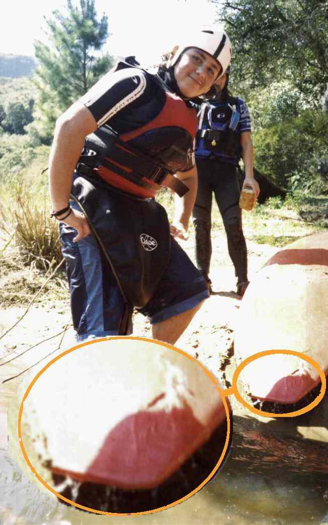
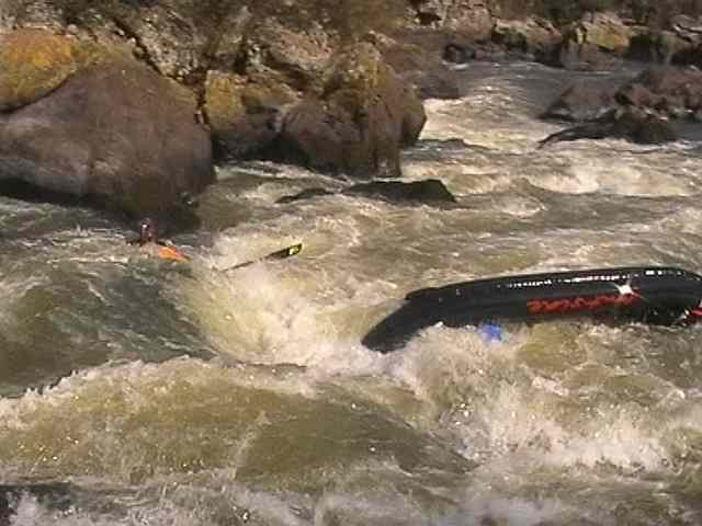
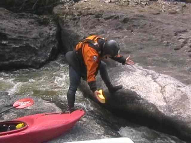
It is important that you enter into the Canyon only with reliable equipment. This boat from the manufacturer Brudden broke on WW I ! If there would not have been a spare place in the inflatable canoe and if at this day there would not have been a commercial rafting tour who took out at the Tartaruga and took Nelsinhos boat with them, the trip would have ended for him - not thinking of the horror of getting out of the Canyon with the wreck on the shoulder.
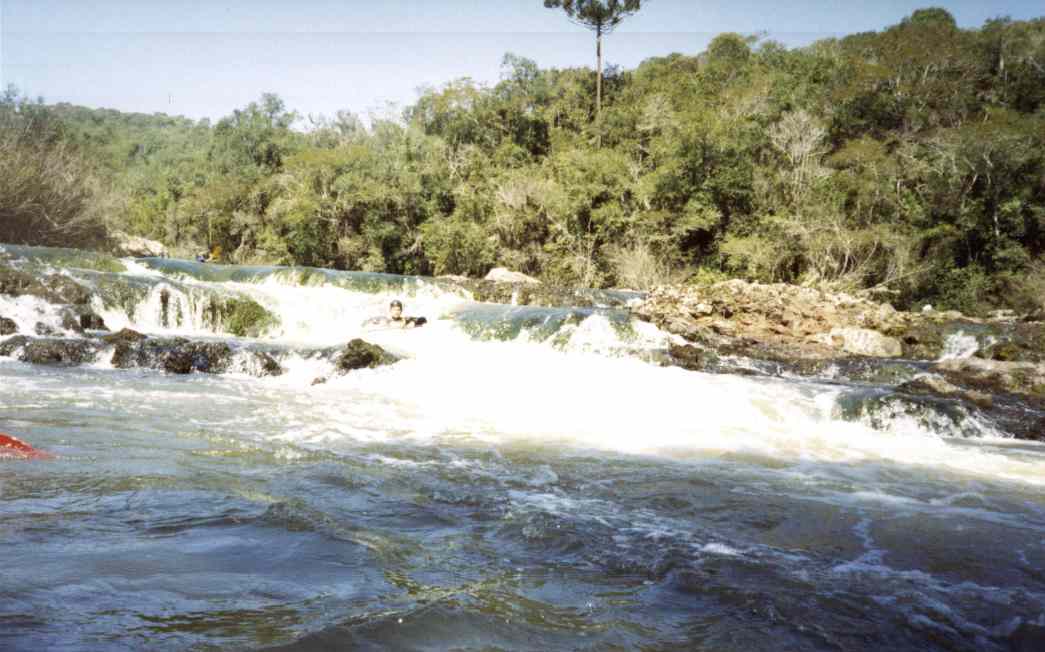
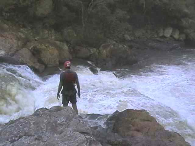
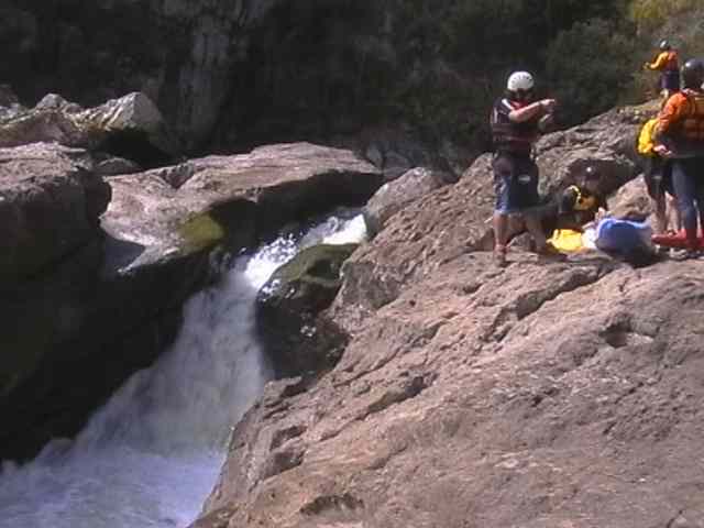
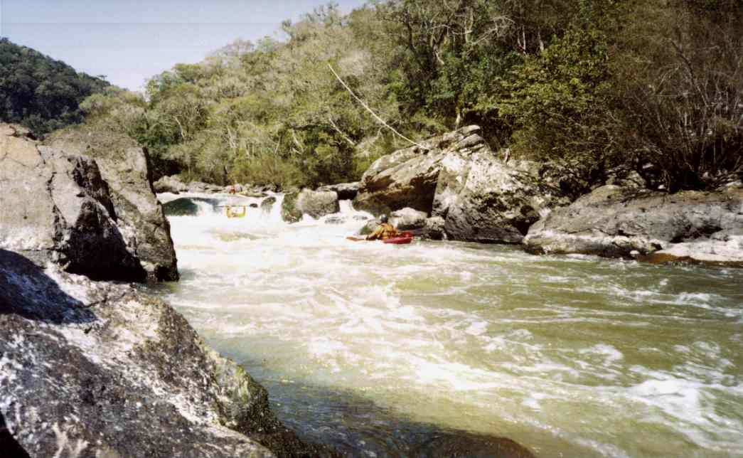
The Tartaruga (Turtle) - if she appears, there is only one km on flat water left, before suddenly an edge appears which is stretching over the whole river and where some foggy clouds are rising up...
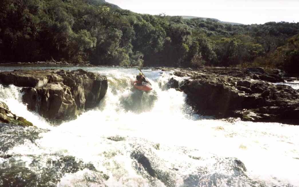
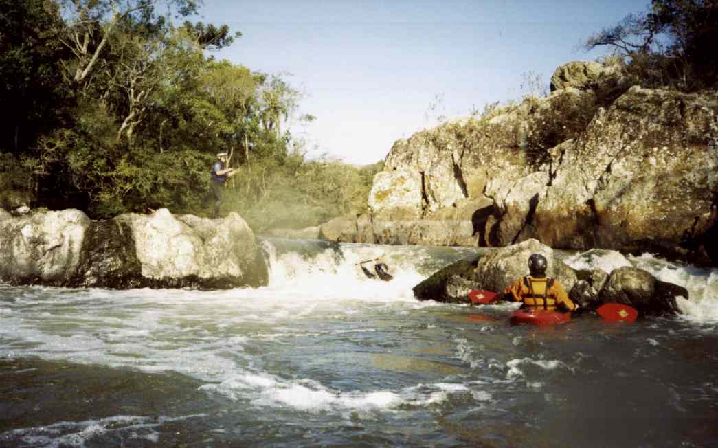
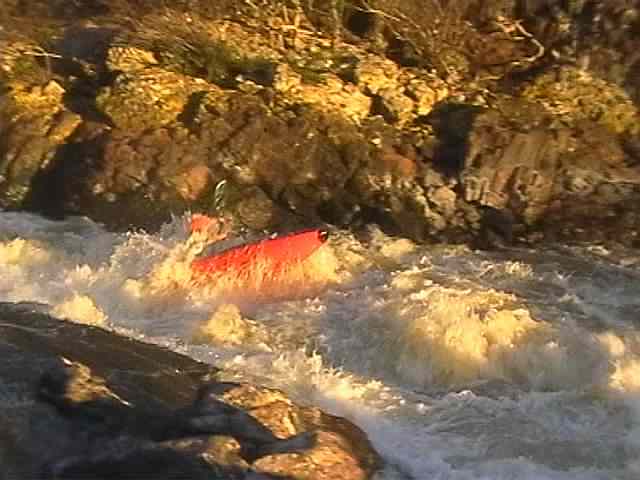
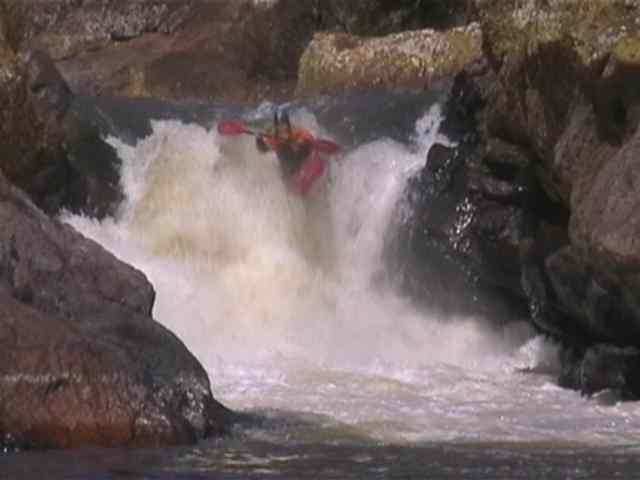
This nice drop is the beginning of the "sporty" part of the river. At low flows you may stop and scout at the right river margin, at higher flows there will come up the Chicken Line.
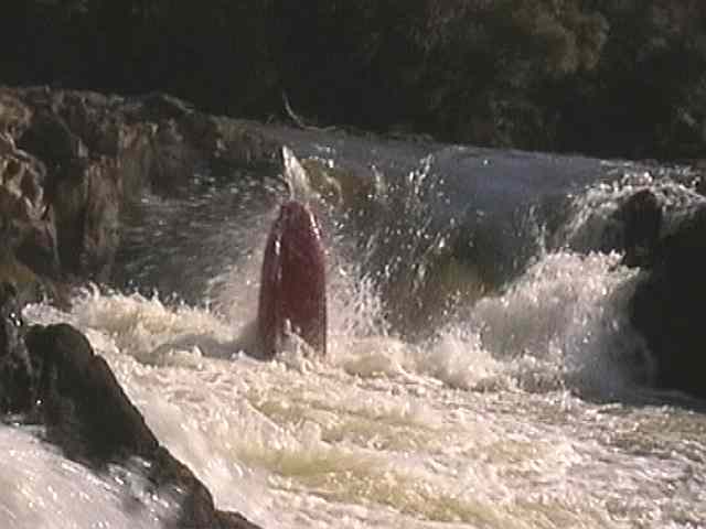
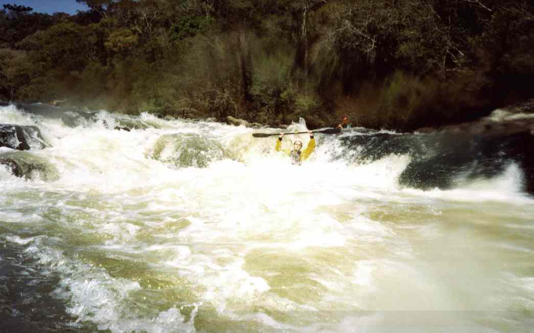
The dive is guaranteed, but to make a somersault backwards you must get right into the hole...
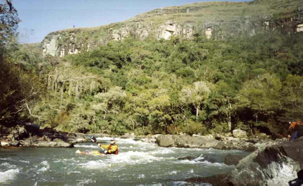
From now on the river has a permanent gradient...
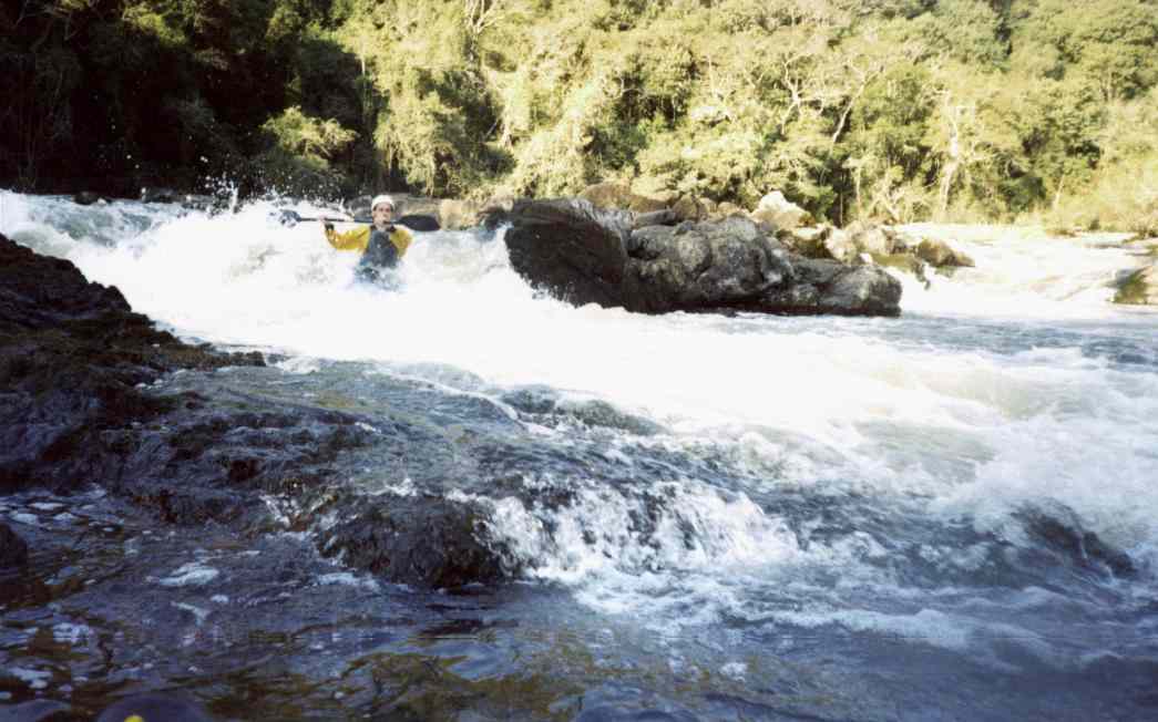
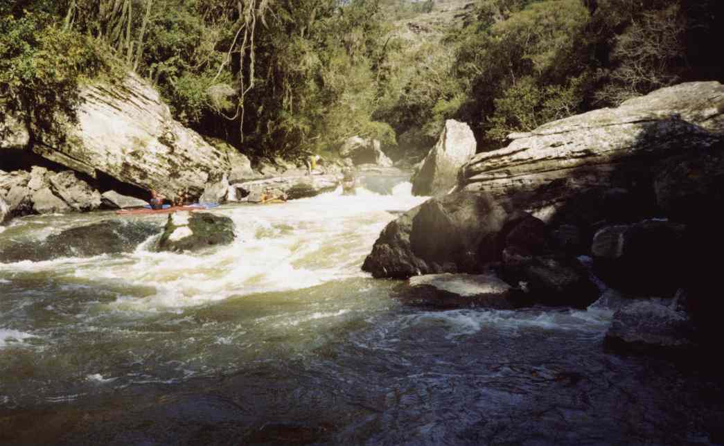
... with lots of degrees. The line is always easy to recognize, until the river suddenly becomes narrow and is entering in a 40 m long "mini-canyon". Enter on the right side...
... and cross to the left before the big boulders at the end, to run the last drop at the very right. Take care, there is a big stone in the middle, direct behind the drop (see picture). The passage on the very right of the big boulders, before you cross to the left is not recommendable, you may jam.
All the excitement should not make you forget to look for a campground, before the canyon is becoming more and more narrow. There is a long section where the river margin is to narrow or steep to camp. The rafting companies have "cleaned up" an area for a camp behind the portages, but we never reached this place before it became dark and camped before this place.
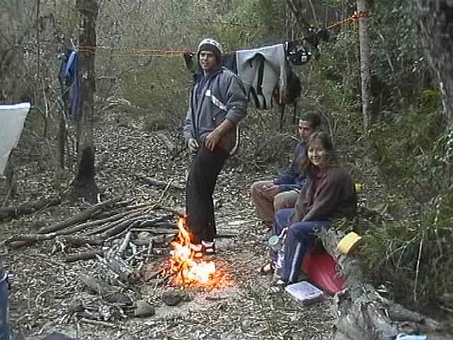
For our big group, this place was the last (and best) opportunity. It is easy to recognize, through the relatively "long" section of flat water in front of it. Because of the danger of wood fires and the Natoinal Park, we wanted to desist from making a fire, but at least the could has won...
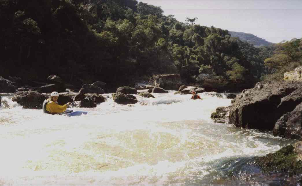
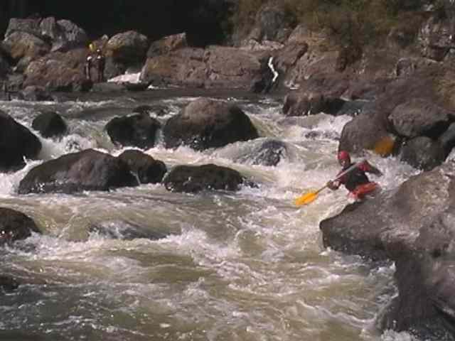
On the next morning, we are going on, on easy rapids, ...
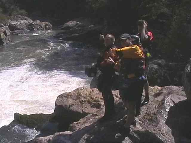
.... until the river, approx. 50 m after this drop, is making a sharp bend to the left. Stop here to scout.
There is a 60 m long rapid following, with an entry which seems to be more difficult then it really is, and a reversal at the end, which usually is also over estimated.
This type of situation should be avoided: the numerous undercuts make swimming dangerous in the narrow passages of the Iapó !
The reversal at the exit - if you get the right line, you just pass over it.
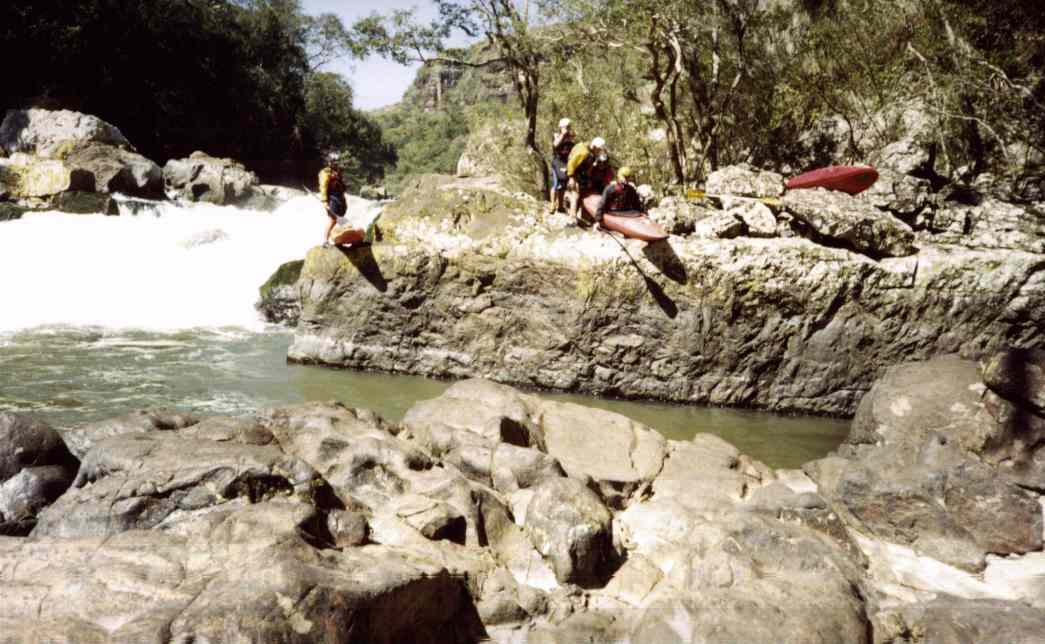
Some nice rapids and degrees are following, until an approx. 150 m long calm section. But now you will hear, that this is only the calm before the storm. Stop right to scout.
At my first descent, which was only with Roberto, he was standing beside the drop and then was almost about to run it. At the second expedition, there were more "analysts" trying to find out a possible line - anyway, at the end there was only one common opinion: no clear line, but nevertheless runnable with a very high risk of injury. As no one in the group had enough financial background to pay a rescue by helicopter the decision was very easy: ...
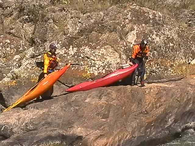
... better portage on the left side ...
... and to get some adrenaline, by making an easy start from the rocks.
The
second fall, which comes after 30 m, was also analyzed and finally portaged
on my first descent with Roberto. The fall doesn't seem to be too difficult,
but the little canyon impedes any rescue in case the reversal or the sharp
eddies right below the fall will "snap" you. And as mentioned before, there
is still a long way out, in case anything happens...
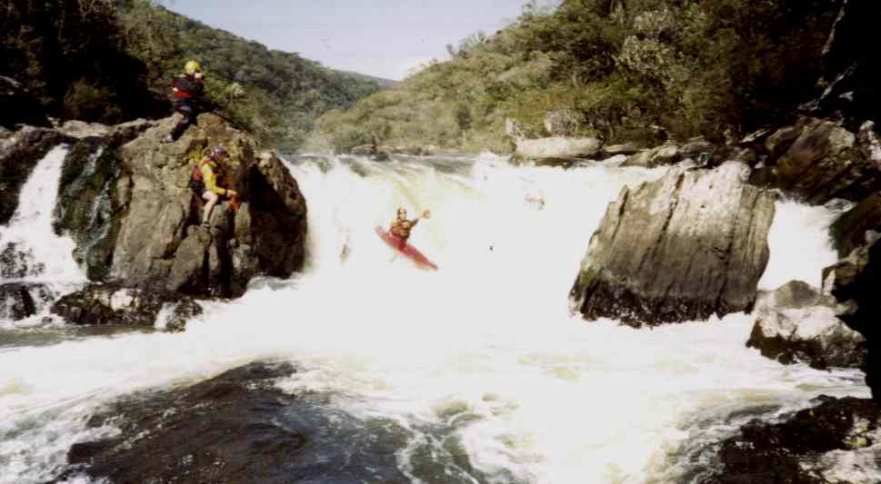
Even though, on our second descent, Jürgen could not resist...
... but after two weeks of paddeling in Norway he was used to this type of jumps.
At the third fall, which is directly following, there is no doubt - portage.
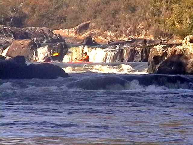
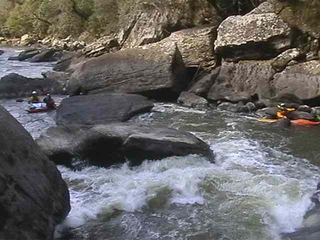
After the portages the river continues with jolly cataracts (take care with the undercut)...
... nice degrees ...
... until this U-type degree, who is followed by the next waterfall which is usually portaged.
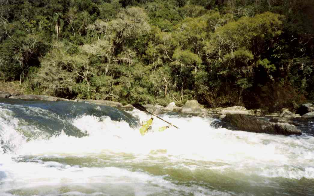
Short before the fall, there is a small degree. Best line is approx. 5 m from the right side of the margin, then go straight into the eddy on the right. With big groups, keep enough distance between each other. Who is confident in his ability to boof, and has a good day, may run the fall at the very right. But take care, swimming may be dangerous because it seems that the current is pushing in an undercut at the left. The only one of us, who had enough confidence was Jürgen...
The entry in the second last interesting section. Technically, this approx. 100 m long rapid is not extreme difficult, ...
... but it is extremely dangerous to swim here, because of the concentration of undercuts !
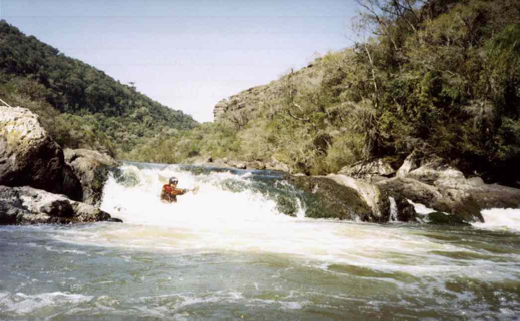
Now the river becomes larger again, and seems to loose his power. But after approx. 700 m there comes the last interesting rapid. Run it on the left in the main current, or at higher flows you may also choose the right side, who ends with a 1,6 m degree.
Juninho obviously "relaxed", and Jürgen giving the "Wicking Salute"
From
now on, there comes hard work again: the last, estimated 12 km until the
take-out are flat water and at low flows sometimes scrubby.
When the river is forming a narrow arm at the left side, with some small
rapids, there will follow a curve to the left followed by a long S-type bend, and at the end you will see a
little house with a waterfall behind - you have made it !
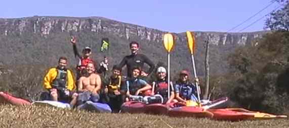
Photos:
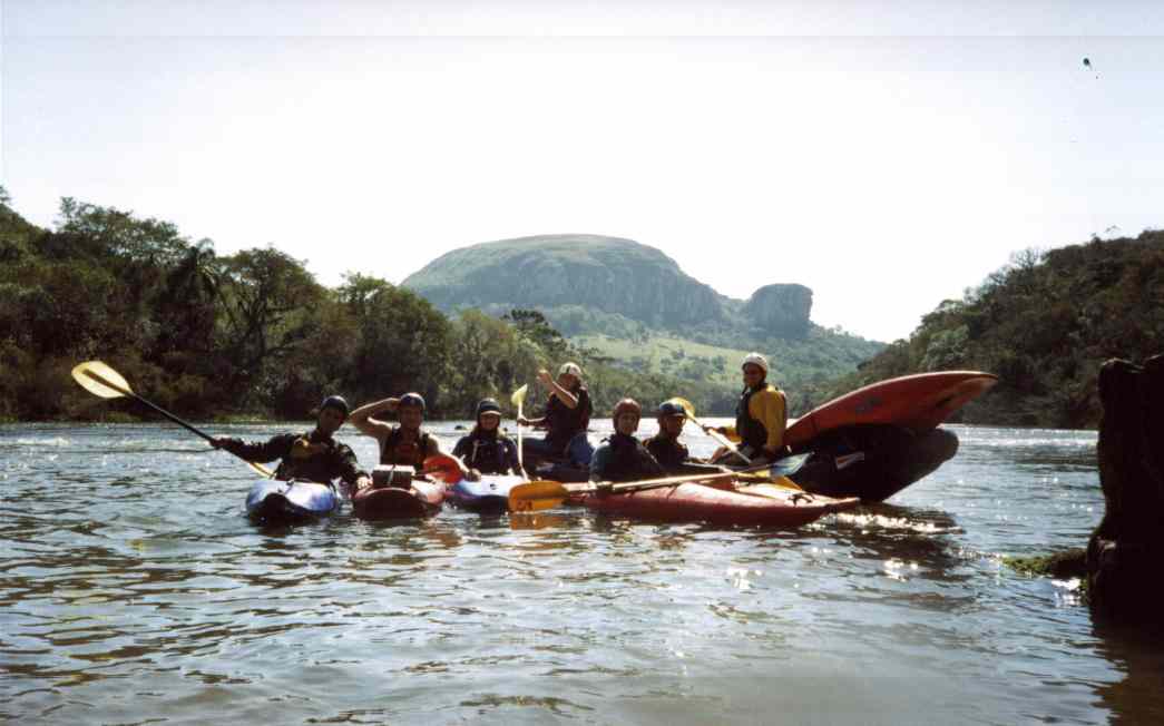
Andreas, Karin, Fernando
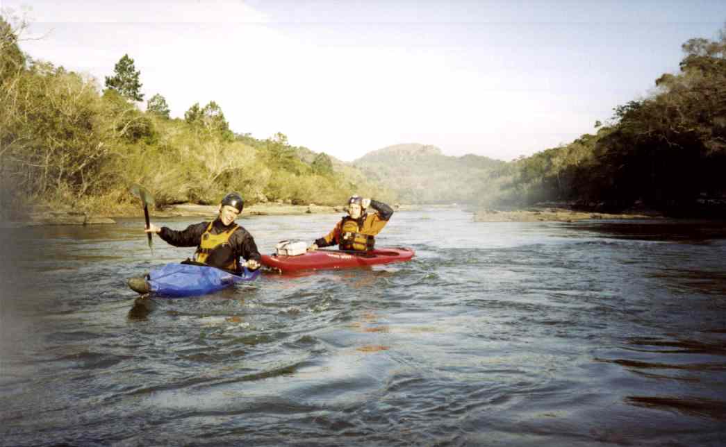
Paddler: Roberto, Jürgen, Juninho, Fernando, Gerhard, Karin, Bruno, Nelsinho,
Andreas