WW Scale and used Symbols
The WW Scale used, corresponds with the “traditional” standard..
Single, particular spots are mentioned in the sequence of their appearance between brackets, e.g. Class III (IV,X,IV) means, that the river is predominantly Class III with two spots of Class IV and one portage in-between.
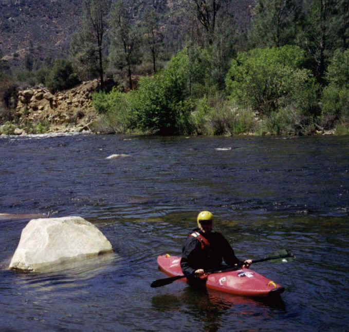
WW I - Easy
Currents with small, regular waves; no Stones in the current; the line is very easy to see; watch out of bridge columns, sandbanks, etc.
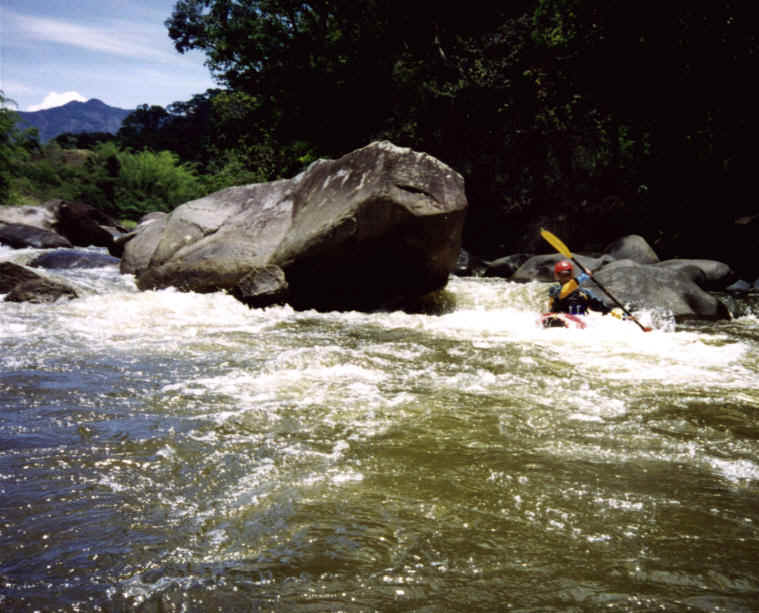
WW II - Advanced
Smaller rapids with predominant regular waves, easy swirls and eddies; few stones in the current with easy lines.
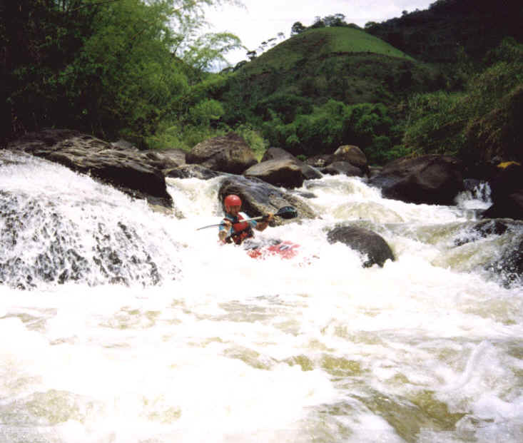
WW III - Difficult
Longer rapids with higher and irregular, waves, braking waves or hydraulics, accented swirls and eddies; lots of stones in the current, to find the line is not easy but still possible within the boat; higher drops without hydraulic; exact technique is necessary.
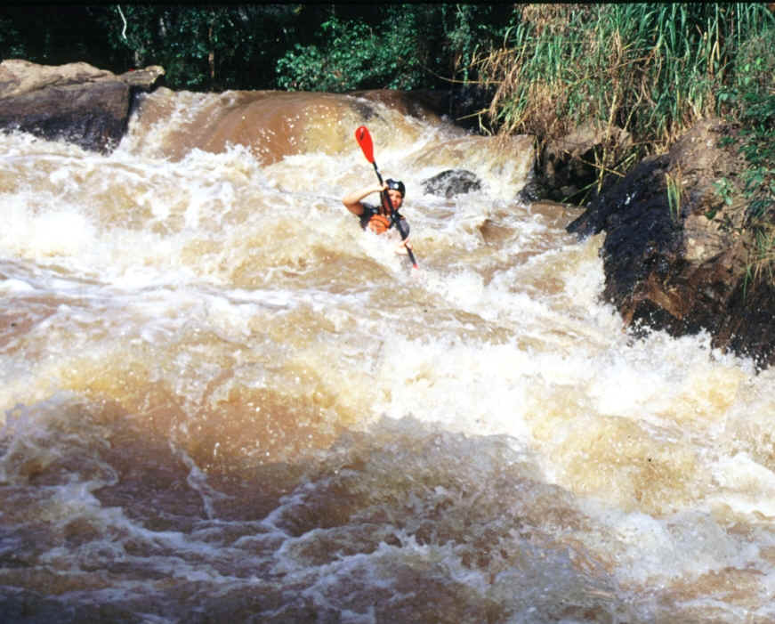
WW IV - Very difficult
Long rapids with high, irregular waves, breaking waves, strong hydraulics swirls or eddies; lots of stones in the current, to find the line from the boat is very difficult; high drops with hydraulics; it is recommended to dominate the Eskimo Roll.
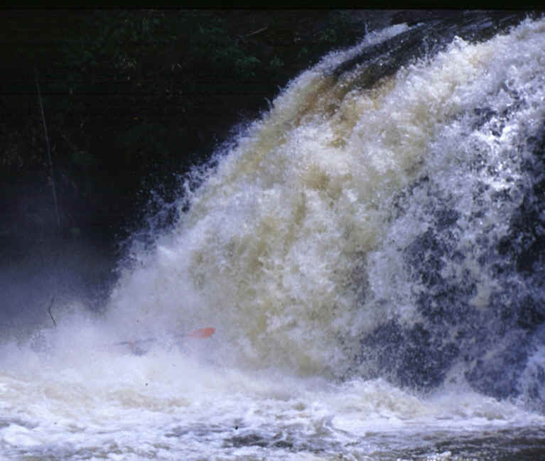
WW V - Extreme
Long and strong rapids with difficult, irregular and breaking waves, very difficult hydraulics swirls or eddies; lots of stones in the current, to find the line from the boat is not possible; very high drops with hydraulics; it is necessary to dominate the Eskimo Roll; high potential of danger.
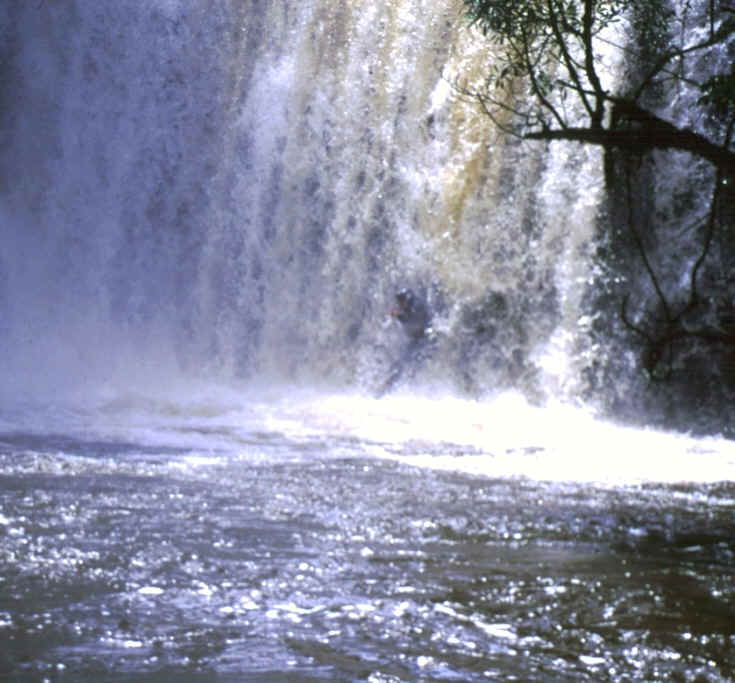
WW VI - Limit of the navigable
Increase of all difficulties to the limit of the navigable; only feasible in optimum conditions; very dangerous.
X
- Un-navigable
! !! - Attention, dangerous spot
Dangerous or un-navigable spots which appear suddenly and/or are in the middle of the main current or which must be approached very close for portage
P P P P P
P P P P P
P P P P P
P P P P P
P P P P P
Landscape:
- poor, river surrounded of farms, villages or towns.
- surrounded mostly of farmland (Fazendas)
- Mixture of farmland with parts of Mata Atlantica, attractive
- Prevailing Mata Atlantica, nice Landscape
- National Park, virgin Mata Atlantica, waterfalls - Top Spot !
J K L
J
K
L
Water:
Color: (reference
are normal conditions of the river)
Clear / Natural turbid / Brown ( "muddy")
Quality:
Clean
Slightly polluted (some solid waste, no smell)
Polluted (solid waste and/or smelling)
Q Q Q Q Q
Q Q Q Q Q
Q Q Q Q Q
Q Q Q Q Q
Q Q Q Q Q
Expedition:
- Easy to
access, road beside the river, abandonment easy
-
Easy to access,
road near the river, abandonment always possible
- Difficult to access and/or abandonment not easy
- Difficult to access and/or river remote from access, abandonment difficult
- Very difficult to access (4x4 necessary) and/or river remote from access,
abandonment impossible
More about the WW scale...
The classification used here, is been discussed during the last ten years, since the improvement of the gear and techniques increased significant the "standard" of Kayaking, especially in Class VI, which is already differentiated in Class VII and VII.
But as most of the paddlers are normal "mortals", the discussions above Class IV is left here to the "immortals"...
Apart from that, there are proposals to differentiate the scale and introduce beside the grade for "technical difficulty" another grade for "Danger" (e.g. technically easy, but if you miss the line, you are "fucked") and "accessibility" (a dislocation of your shoulder in a canyon with still 2 km of Class IV rapids is much worse then if you can just walk up to the road)
These aspects are considered in the present evaluation of the rivers, by a conservative approach of the classification in case of remote rivers or dangerous spots.
Obligatory passages are also to be considered as a special case. As they may not be considered as an isolated rapid, the whole river will be classified with the WW Class of this rapid.