|
Gauge Low /
Middle / High |
Gauge
Nucleo: 0,3 - 0,9 m / 0,9
- 1,2 m / > 1,2 m (at the bridge behind the Park Station) Gauge
Palmeiras: 1,5
- 1,8 m / 1,8 - 2,2 m
/ >2,2
m (at the take-out of Palmeiras) |
|
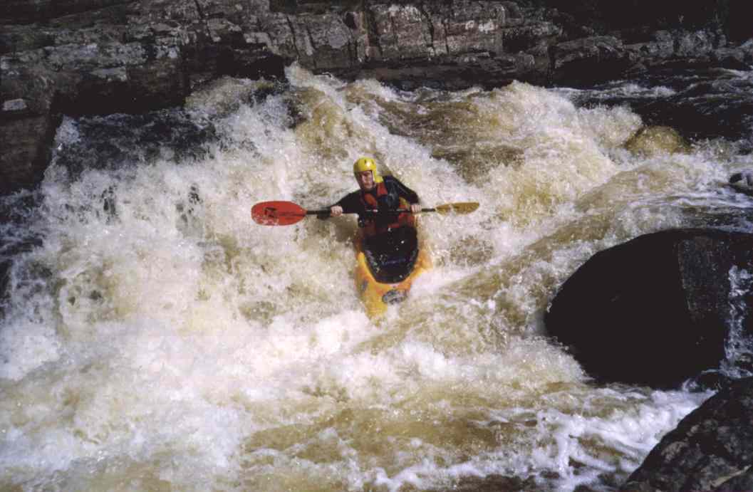
Difficulty |
WW
III- (IV+, IV-, IV-, X, IV-, X) Attention,
over 1,0 m (Nucleo) / 2,0 m (Palmeiras) the Caixão becomes unrunnable,
the other Rapids become one grade more difficult with high flows. |
|
|
Short
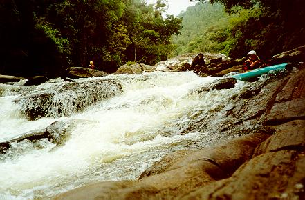
after the put-in, after a sharp bend to the left, you will start to hear
that there is "action" ahead. The river starts with a short
rapid and then you will suddenly see the horizon in front of you. Stop on
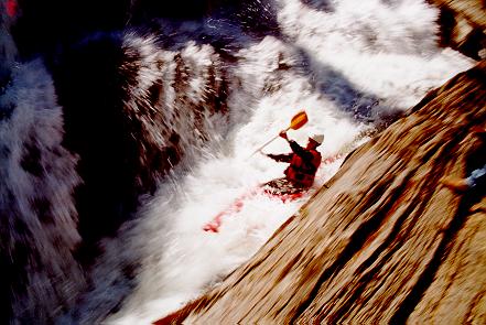
the right to scout the Saltinho.
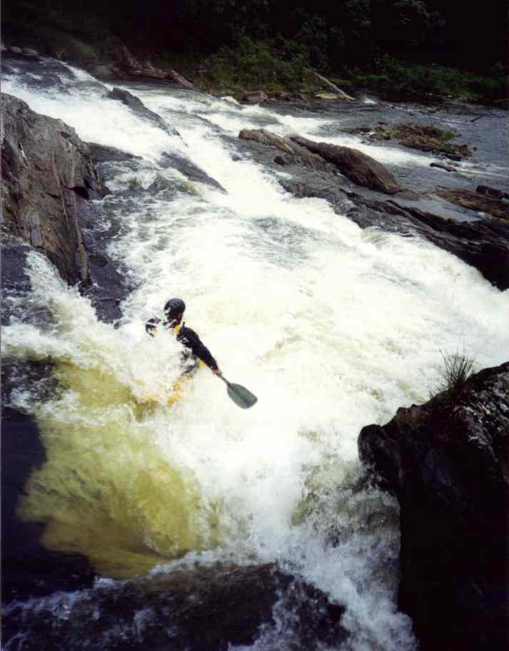 
The
"right line" from above. After the first drop try to get on the
left side of the fall, on the right there is a rock under water.
Alternative you may also take the "left line" (which is better
on high flows) If
you have made the Saltinho, you may recover on the next km, until the
Slato Grande
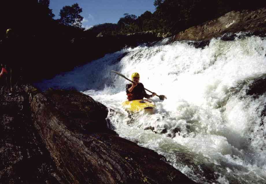
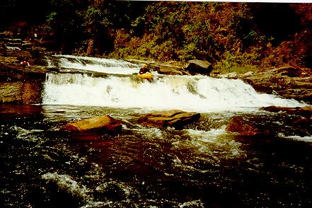
The
Salto Grande is easy to run, following the main current. Nevertheless, you
should have a safety buddy at the end, especially on higher flows,
because the slight is falling in a short pool and from there the current
pushes straight in an unrunnable fall. In the pool go immediately to the
left where you have to make a short portage until you may drop in the
channel in front.
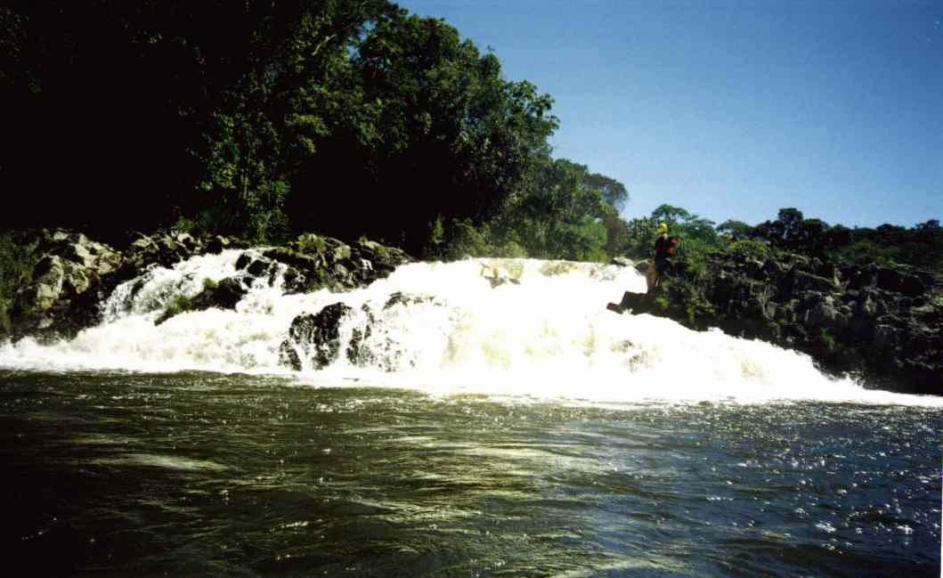
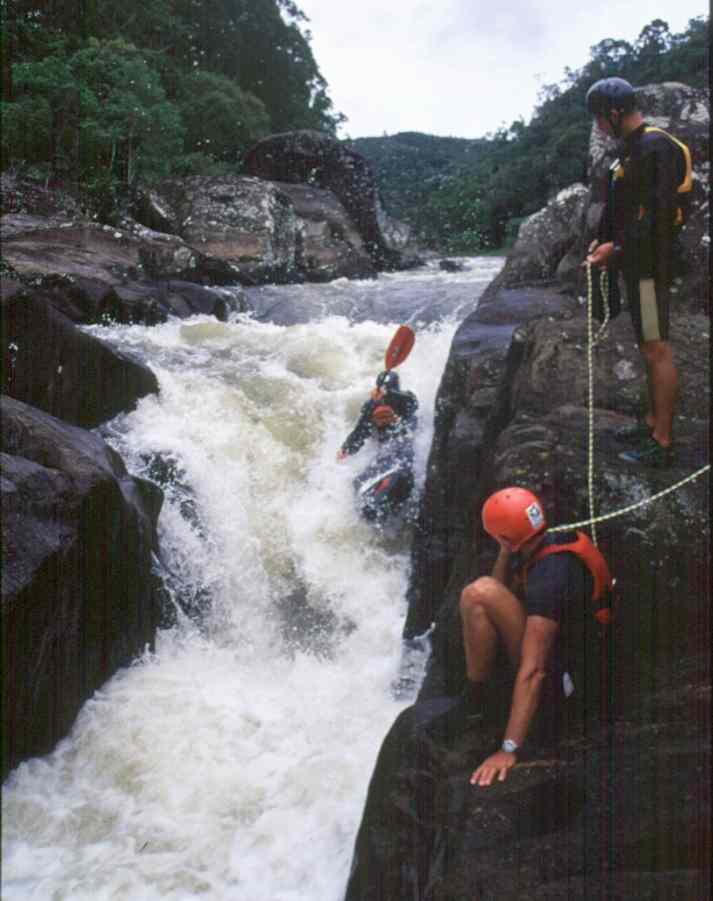
In
the middle of the channel the Caixão is waiting, a drop of around 3 m.
Another 50 m of rapids are following before the next pool.
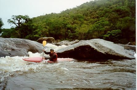
After
the pool some Class III- rapids are going on for another 300 m, before the
river is calming down again. After approx. 1,5 km big boulders block the
river. Approach very carefully, the current is pushing below these
boulders, and stop at the left side for portage. A long flat section, with
short and easy rapids is following, until after approx. 1,5 hours the
rocky river margin seems to block the river from the left side, only
leaving a small passage on the right. Stop here to scout the Gamela.
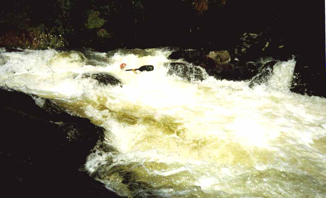
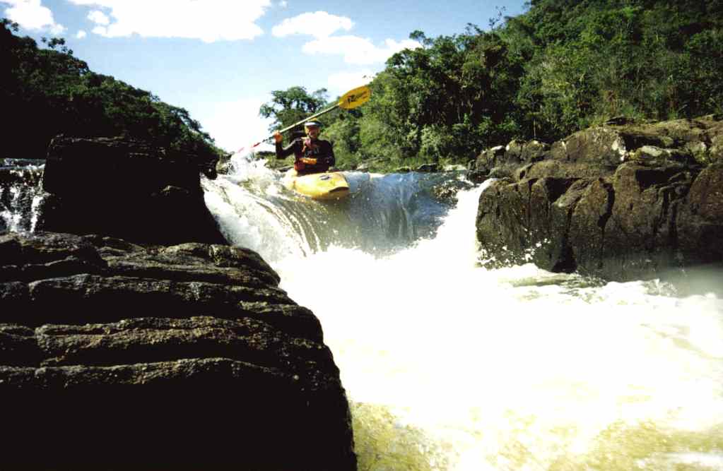
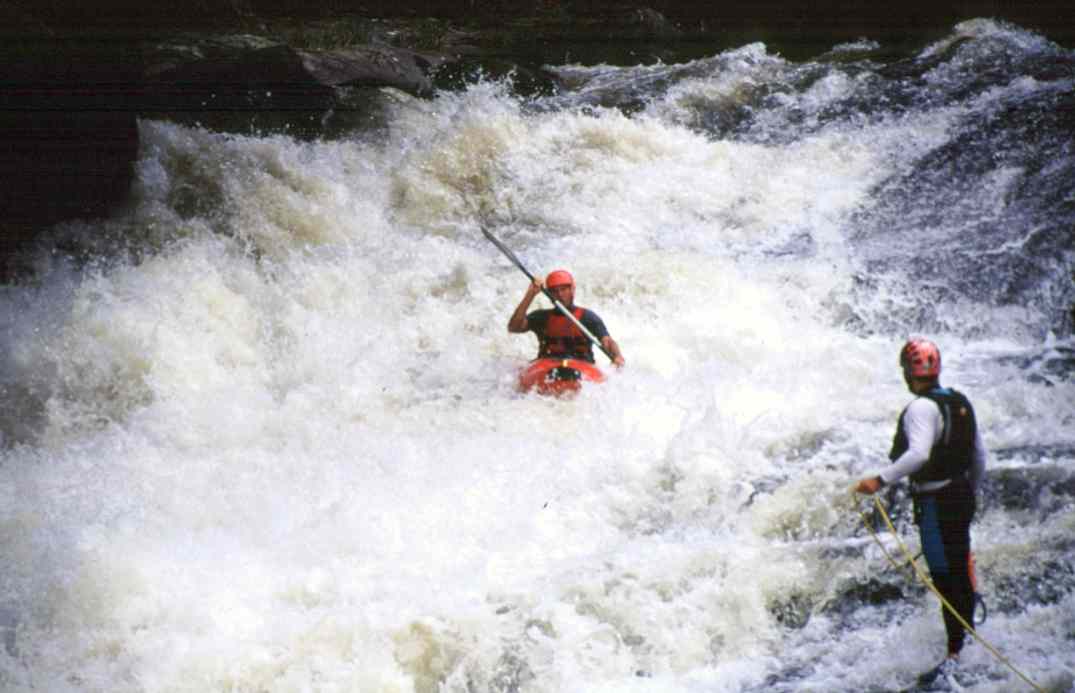
The
second drop of the Gamela
The
Gamela is an approx. 10 m wide channel with a little, diagonal drop at the
entry (take it left) and a drop at the end which is not "clean"
in the underwater (take it right).
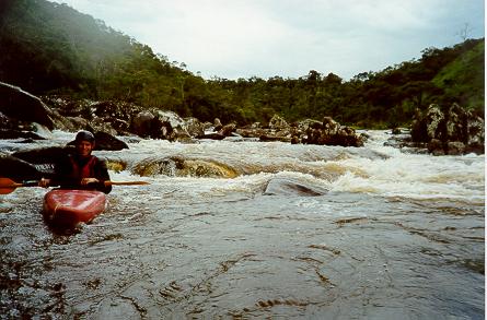
Two rapids, up to Class III are following. At the end of the second, you
should pay attention. The river is becoming more narrow and you will see
an edge in front. At low flows, experienced paddlers may run the first
drop (which is an old, broken barrage) in the middle. After this drop
hurry to stop at the right side, there are not even 10 m before the river
pushes into an unrunnable waterfall, the Itapavão. Therefore it is better
to start the portage before the old barrage.
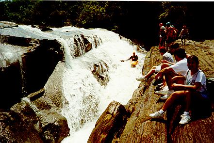
Up to the take-out there are still two easy rapids following, take the
second, a small drop on the right side of the river, with speed, to pass
the reversal below.
|